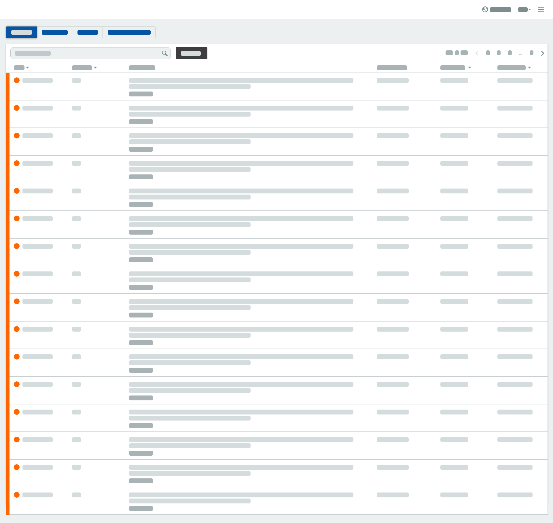
How to view list information
INDOT’s Traveler Information list view is provided to assist motorists in their decision making by providing them with a list of all events, cameras, and electronic signs along Indiana’s roadways.

Event list features
Searching the event list
You can perform a search of the event list by typing in the “Perform a search” input box.
- Select the “Perform a search” input box.
- Type a search entry (e.g. I-80, construction, or crash).
- The event list will automatically update to show all events that contain your given search entry.
Filter options
Click or tap the button to view filter options for:
- Types - Filter the list to display a specific event type(s). (e.g. unplanned traffic events, construction, waze alerts)
- Predefined areas - Filter the list to display events in a specific predefined area(s). (e.g. Indianapolis, Gary, Fort Wayne)
- Roadways - Filter the list to display events along a specific roadway(s). (e.g. I-65, I-69, I-70)
- Restrictions - Filter the list to display events with Commercial Vehicle restriction(s). (e.g. height restriction, width restriction)
You can apply multiple filter options to narrow down the the results of the event list.
Sorting columns
Click or tap a column header to sort the list in either ascending or descending order.
View on map
You can view where an event is located on the map.
- Click or tap the View on map link at the bottom of an event description.
- A window will open to display the location of the event on a map.
Camera list features
Searching the camera list
You can perform a search of the camera list by typing in the “Perform a search” input box.
- Select the “Perform a search” input box.
- Type a search entry (e.g. camera name or route).
- The camera list will automatically update to show all cameras that contain your given search entry.
Filter options
Click or tap the button to view filter options for:
- Roadways - Filter the list to display cameras along a specific roadway(s). (e.g. I-65, I-69, I-70)
- Predefined areas - Filter the list to display cameras in a specific predefined area(s). (e.g. Indianapolis, Gary, Fort Wayne)
You can apply multiple filter options to narrow down the the results of the camera list.
How to play video
Some cameras have the ability to play full motion video.
- Click or tap the button or thumbnail to begin playing the video.
- Click or tap the button or thumbnail to stop playing the video. Video will automatically stop after 2 minutes.
View on map
You can view where a camera is located on the map.
- Click or tap the View on map link at the bottom of a camera.
- A window will open to display the location of the camera on a map.
Enlarge the camera view
You can view a larger camera image or video, if available.
- Click or tap the button at the top of a camera.
- A window will open to display a larger view of the camera still image.
- Click or tap the button to begin playing the video.
- Click or tap the button to stop playing the video. Video will automatically stop after 2 minutes.
- Click or tap the View on map link at the bottom of a camera.
- A window will open to display the location of the camera on a map.
Sign list features
Searching the sign list
You can perform a search of the sign list by typing in the “Perform a search” input box.
- Select the “Perform a search” input box.
- Type a search entry (e.g. sign name or route).
- The sign list will automatically update to show all signs that contain your given search entry.
Filter options
Click or tap the button to view filter options for:
- Roadways - Filter the list to display signs along a specific roadway(s). (e.g. I-65, I-69, I-70)
- Predefined areas - Filter the list to display signs in a specific predefined area(s). (e.g. Indianapolis, Gary, Fort Wayne)
You can apply multiple filter options to narrow down the the results of the sign list.
View on map
You can view where a sign is located on the map.
- Click or tap the View on map link at the bottom of a sign.
- A window will open to display the location of the sign on a map.